
Hike Signal Peak Trail
Spring is a popular time to hike in Arizona. The weather is just right, the desert is in bloom and there is a sense of urgency to spend more time outside.
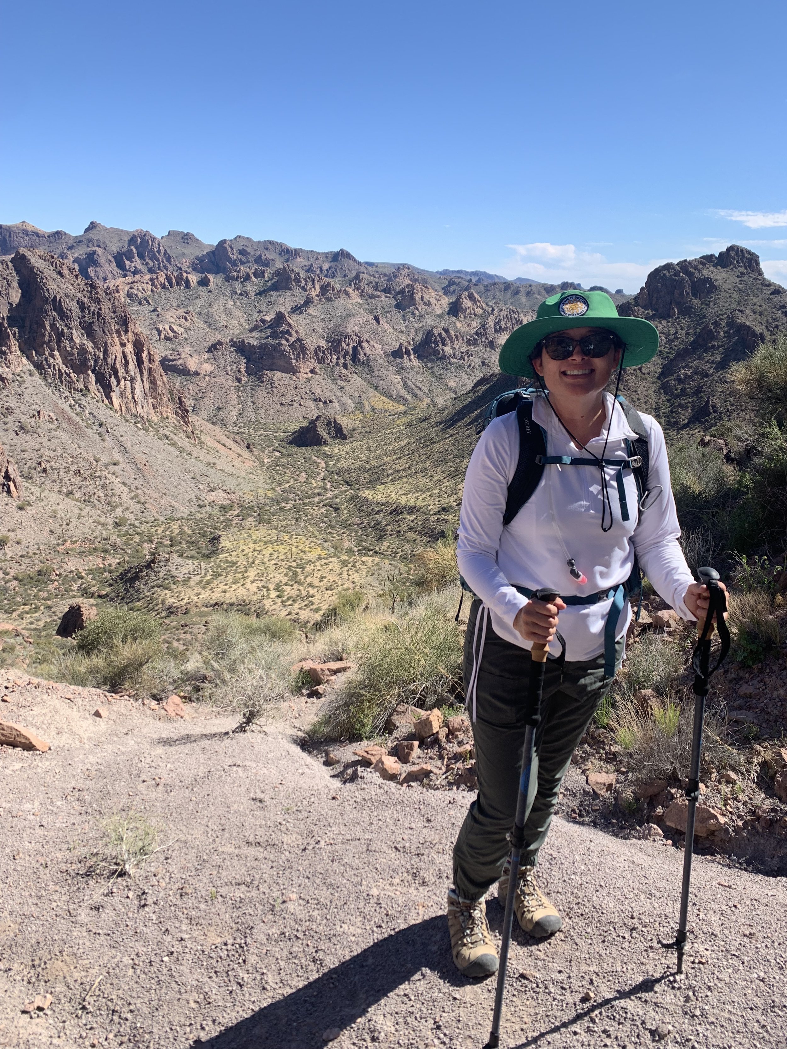
I recently hiked Signal Peak Trail which is located about 20 minutes south of Quartzsite along Highway 95.
Signal Peak is known for being the tallest peak in Yuma County at 4,877 feet and is rated a challenging hike on AllTrails.
What to Know Before You Go
Plan on an all day adventure when planning this hike. You’ll spend about 2 1/2 hours driving to the trailhead from Yuma. 4-5 hours to hike and then another 2 1/2 hours of drive time back to Yuma.
A 4x4 vehicle will allow you to drive back to the trailhead.
Take plenty of water and food. If weather permits, enjoy your lunch at the peak. The view is stunning!
Take hiking poles, your knees will thank you. The trek to the peak has a steady incline and the poles come in handy. As you make your way down the mountain, the trail has loose rock and the poles will help you prevent sliding. The poles will also take some pressure off of your knees.
Let a friend or family member know the location of your hike and when you expect to return. You will most likely not have cell service on this hike.
Directions from Yuma
Head north on HWY 95 towards Quartzsite.
Turn right (east) on Palm Canyon Road, about mile marker 85.
Drive east 3.2 miles to Kofa Queen Canyon (KQC) Road on the left. Follow KQC Road northeast about 7.5 miles into the Canyon to where a canyon opens up to your right.
The road inside the canyon is rocky and sandy. Follow the 'better-looking' route if unsure at a junction. You can enter the site in your AllTrails app and it will guide you to the point to park your vehicle.